The Place
The River That Named the City
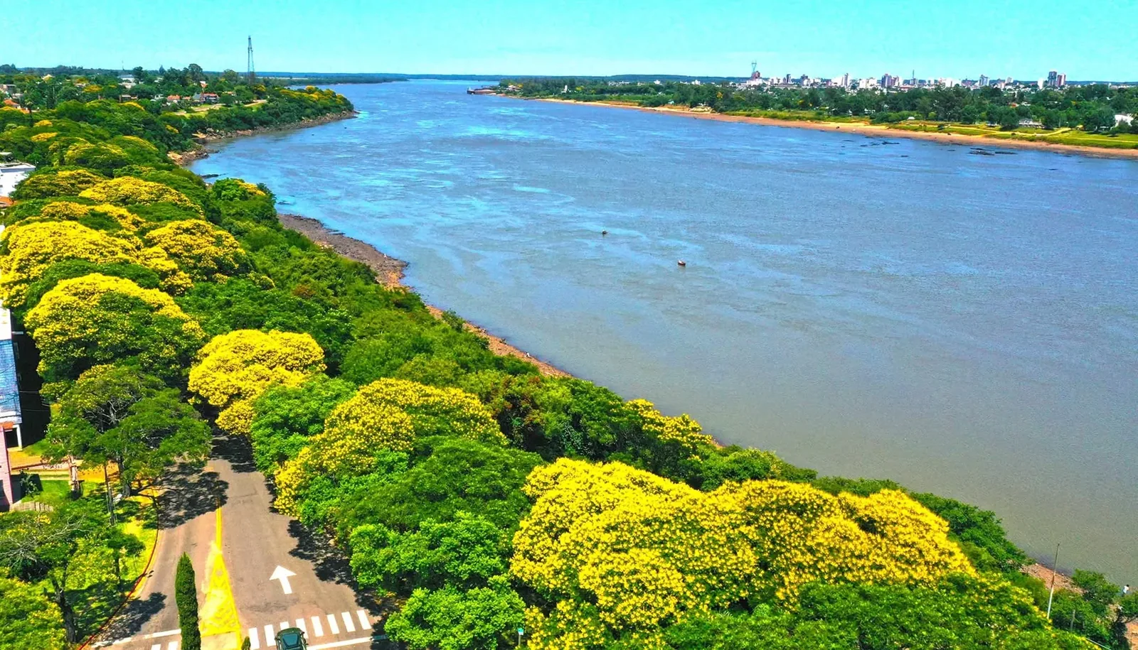
The Uruguay River runs about 1,800 km from the Serra Geral in southern Brazil to the Río de la Plata, and for its last 508 km it is the border between Uruguay and Argentina. Salto is on the east bank, with Concordia opposite. Here two ledges of basalt crossed the river and broke it into white water: Salto Chico, 3 km north of the centre, and Salto Grande, the big one, upstream where the dam now stands. The city took its name from them, and so did most of what happened to it afterwards.
On 8 November 1756 a Spanish column under governor José Joaquín de Viana, marching north in the war with the Guaraní missions, stopped here because its boats could go no further. The barracks it built were called San Antonio del Salto Chico, a fort followed in 1757, and the date is still the city's birthday. For the next two hundred years Salto was the place where anything coming up the river had to come off the boat.
Below the dam it is still a river: islands, sandbanks, gallery forest on both banks, and a level that rises with the rain in Brazil and falls with what the turbines are doing upstream. The height in front of the port is read on the port gauge every day, and the Intendencia, the Prefectura and the local press all quote the same number.
The Falls
Salto Grande and Salto Chico
At the north end of the Costanera Norte, in the part of town called the Ayuí, the river narrows over a shelf of basalt. In summer, when the level drops, the shelf comes out of the water. Above it stands the Parador Ayuí, Eladio Dieste's conical brick lodge, a National Historic Monument since 2018. It is the best place in the city to see why the boats stopped.
The big rapids were upstream, at a place the Guaraní called Ayuí, running water. In 1979 the dam closed over them and the river behind it became a lake 140 km long; the first turbine started on 21 June that year. The falls that stopped Viana in 1756 are somewhere at the bottom of it, and the dam that replaced them is the one part of this story you can walk through on a guided visit.
Salto means a leap or a fall of water. The two falls stopped the boats, so cargo had to come off here and go round by land, and a town grew at the landing. They stopped the fish too: the dorado, the surubí, the boga and the sábalo migrate upstream every spring and for two centuries gathered under the white water. The port and the fishing had the same cause.
1811
The Exodus Crossed Here
In October 1811, after the first siege of Montevideo was lifted and the Banda Oriental was left under the Spanish viceroy, José Gervasio Artigas refused to stay. He marched north, and the people of the countryside went with him: families, carts, cattle, gauchos, Guaraní and Charrúa, the poor of a whole province, more than ten thousand people by most counts. They called it la Redota, the country way of saying derrota, a word that in the Spanish of the time meant the route taken as much as a defeat. Uruguay calls it the Éxodo del Pueblo Oriental, and it is the founding story of the nation.
In December 1811 the column reached the river just north of Salto, by the mouth of the Arroyo San Antonio, and camped on the bank for a month. Then it crossed: carts, animals and people ferried over to the Ayuí on the Entre Ríos side, where the camp stayed until the following spring. The crossing was about 2 km upstream of where the Concordia boat runs today, around the Parador Ayuí and the small falls. The river in front of you there is the one they crossed.
Artigas came back through this river country once more, in 1820, on his way to exile in Paraguay, and never returned. The main square of Salto carries his name, as does the one in every town in the country.
The Steamers
When Buenos Aires Came by Boat
For a century the river was Salto's road. The first steamers left for Montevideo in 1852, and in 1857 local merchants founded the Compañía Salteña de Navegación a Vapor, with two paddle steamers built in England and named Salto and Montevideo: four sailings a month down to the capital, calling at Concordia, Paysandú, Concepción del Uruguay, Fray Bentos and Nueva Palmira, and Justo José de Urquiza among the shareholders. The city built ships of its own in yards north of the Sauzal stream, and by the 1860s it was one of the main shipping towns on the river.
Everything stopped at Salto because the river did. Above Salto Chico and Salto Grande no steamer could pass, so the trade of the upper river and of Rio Grande do Sul came off the boats here and went on by cart, and from 1874 by train: the line from the wharf to Itapebí, extended to Santa Rosa, today's Bella Unión, in 1875, was proposed by the steamship company itself to get round the falls. Concordia opened its own railway north in the same year for the same reason. A town that is the end of the line for everything gets rich, and this one did.
That is where the look of the centre comes from. The Teatro Larrañaga, the Ateneo, the Palacio Córdoba facing the port, the banks and mansions along Calle Uruguay and the big houses that are now museums were paid for by the river trade of the decades after 1860, and they give Salto an air the rest of the interior does not have: a port town's confidence, with a theatre where a market town would have a shed. Mihanovich's company was still running paddle steamers from Buenos Aires in the 1920s, the General Artigas and the General Alvear, 446 passengers each in two classes, and the General Artigas worked until 1960. A last try at river tourism, the Ciudad del Salto in 1952, lost money on its first trip. Road and rail finished the job. The passenger boat to Concordia, ten minutes across from the same port, is what is left of the carrera.
| Year | What happened on the river |
|---|---|
| 1756 | A Spanish column under governor Viana, on its way north in the war with the Guaraní missions, stops here because its boats can go no further. The barracks it builds on 8 November are called San Antonio del Salto Chico; a fort follows in 1757. The city still keeps the date as its birthday. |
| 1811 | The Exodus of the Banda Oriental, more than ten thousand people behind José Gervasio Artigas, camps on the bank just north of the town for a month and crosses to the Ayuí in December. |
| 1852 | The first steamers, the Progreso and La Mercedes, sail from Salto to Montevideo. The river becomes the road. |
| 1857 | Local merchants found the Compañía Salteña de Navegación a Vapor, with two paddle steamers built in England, the Salto and the Montevideo, and Justo José de Urquiza among the shareholders: four sailings a month to the capital, calling at Concordia, Paysandú, Concepción del Uruguay, Fray Bentos and Nueva Palmira. Salto builds ships too, in yards north of the Sauzal stream. |
| 1874 | The railway from the wharf to Itapebí opens, extended to Santa Rosa, today's Bella Unión, in 1875. The steamship company itself had proposed it in 1866: a train to carry the trade of the upper river round the falls. |
| 1920s | Mihanovich's company runs direct steamers from Buenos Aires to Salto. Its paddle steamers General Artigas and General Alvear, built in 1913 and bought in 1922, carry 446 passengers each in two classes. |
| 1928 | The present concrete wharf, 140 m long, is built over three years at the foot of the centre. |
| 1952 | A last try at river tourism: the steamer Ciudad del Salto makes one trip and loses money on it. The General Artigas works until 1960, and the era of travelling to Buenos Aires by boat ends with it. |
| 1979 | The Salto Grande dam closes over the big falls. The first turbine starts on 21 June, and the river upstream becomes a lake 140 km long. |
Dates from the Prefectura's and the city's own accounts: Visión Marítima, El vapor de la carrera por el río Uruguay; La Prensa de Salto, Navegando el río Uruguay, 31 May 2024; Resolución 1074/2010, which made the railway area a National Historic Monument; and the Comisión Técnica Mixta de Salto Grande.
The Riverfront
The Costanera
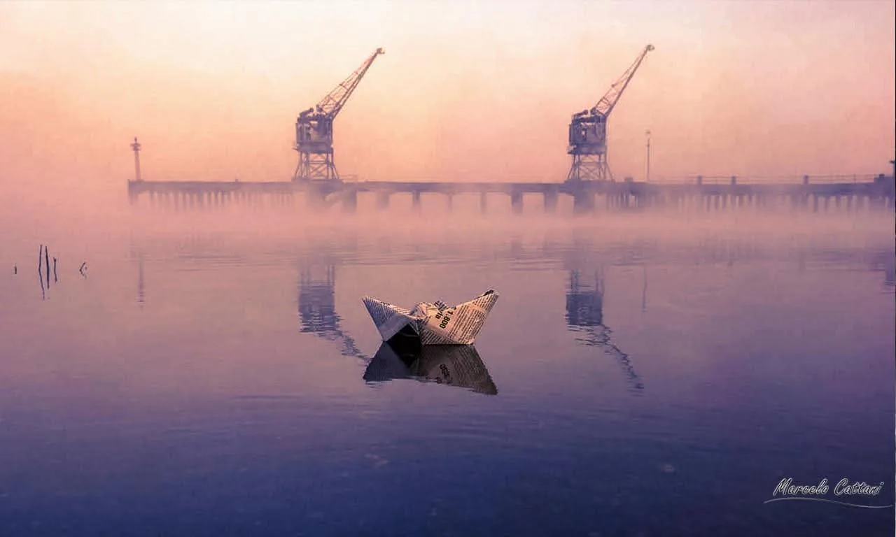
The centre meets the river at the old port: the cranes, the 140 m wharf, the Palacio Córdoba behind you and the Concordia boat tying up in front. This is the urban end of the riverfront and the place to start, a few blocks from Plaza Artigas.
South of the port, the quieter waterfront, where the city goes to watch the sun go down. The rowing club, Club Remeros Salto, is members only, but its vaulted roof by Eladio Dieste can be seen from the road. Grass, mate and the river.
North of the port: football pitches, playgrounds, the public parrilleros (grills) at km 2.5, the stretches of sand the city calls the beaches of Las Cavas and Salto Chico, and the late crowd on summer nights. The Intendencia's free Friday bus comes along here on its way to the dam.
At the north end, 3 km from the centre, the small falls and the Dieste lodge above them. The sunset of the sunsets, and the bank the Exodus crossed from. Flat and walkable all the way from the port, or a few minutes by taxi (fares on saltouruguay.com).
Every Evening
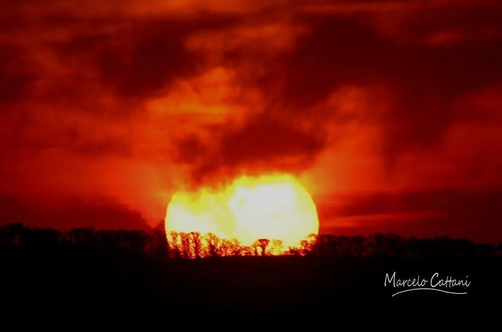
The Sun Goes Down Behind Argentina
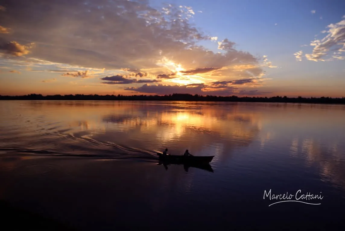
Salto faces west across the water, so the whole town gets the sunset over the river, in front of the costanera, with the lights of Concordia coming on along the far bank. The routine is mate, a flask wedged against a backpack, tortas fritas if someone thought ahead, and nobody in a hurry. The port gives you the urban version, old architecture at your back and a working river in front; the Costanera Sur the classic one; the Parador Ayuí and Parque del Lago the wide-open ones, where on a still evening the sky burns twice, once above the far shore and once at your feet.
My note on the sunsets of Salto goes through each spot, from the port to the lake.
Fishing
The Dorado Below the Dam
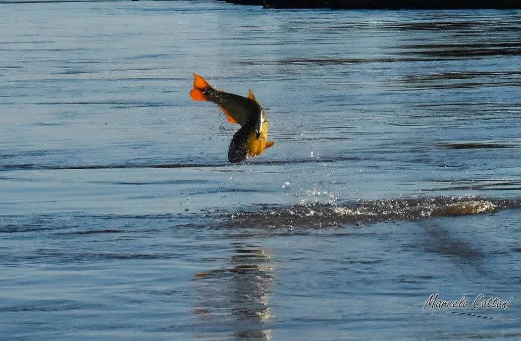
Four of the river's big fish, the dorado, the surubí, the boga and the sábalo, move upstream every spring to spawn, and for two centuries the falls stopped them at Salto. Now the wall does. The water below it, the stretch the anglers call La Zona, is fished from open boats with an outboard and a guide who rigs the rods, in three-hour slots from Monday to Thursday. CARU allows only artificial lures there, cast with a fly rod, a spinning rod or a baitcaster, with no bait and no trolling, on barbless hooks, and every fish from a boat goes back. Further down, the stretch to Salto Chico is fished all year round, from boats and from the bank, with lures or live bait, and the guides say the live eel works best. From November the boga comes in for the shore anglers on the costanera.
Fly fishing is sold here too: a lodge on the river at Salto fishes the dorado with fly rods, wading in summer when the river drops, and calls itself the first fly-fishing lodge in Uruguay.
The Journal note on fishing in Uruguay has the seasons, the rules and how La Zona works; the Dorado Fishing day is bookable from this site.
Upstream
Fifteen Kilometres North
The Salto Grande dam, built by Uruguay and Argentina together and run by their Comisión Técnica Mixta, holds back a lake of 78,300 ha: 852 m of concrete, 39 m above the river, fourteen turbines, and a road and railway bridge on top that is the border crossing to Concordia. Free guided visits every day, a free science museum and the spillway open when the river is high are all on the dam's own page. What matters for the river in town is simpler: the level in front of the port is set as much by the turbines as by the rain, so it can change by the hour, and when it passes 10.55 m the port closes and the boats stay in.
Birds
Is It an Important Bird Area?
Not the river in front of the city, strictly speaking. BirdLife International lists 22 Important Bird Areas in Uruguay and four of them are in Salto, and the nearest, San Antonio, begins a few kilometres north-east of the centre along the Arroyo San Antonio, the stream whose mouth the Exodus crossed beside: 33,000 ha of gallery forest, river-island woodland and natural grassland, listed in 2008 for three small birds that breed there, the ochre-breasted pipit and the dark-throated and chestnut seedeaters, the capuchinos that migrate along the river every spring. Further downstream, in Río Negro, the Esteros de Farrapos and its 24 river islands are a national park and a Ramsar wetland.
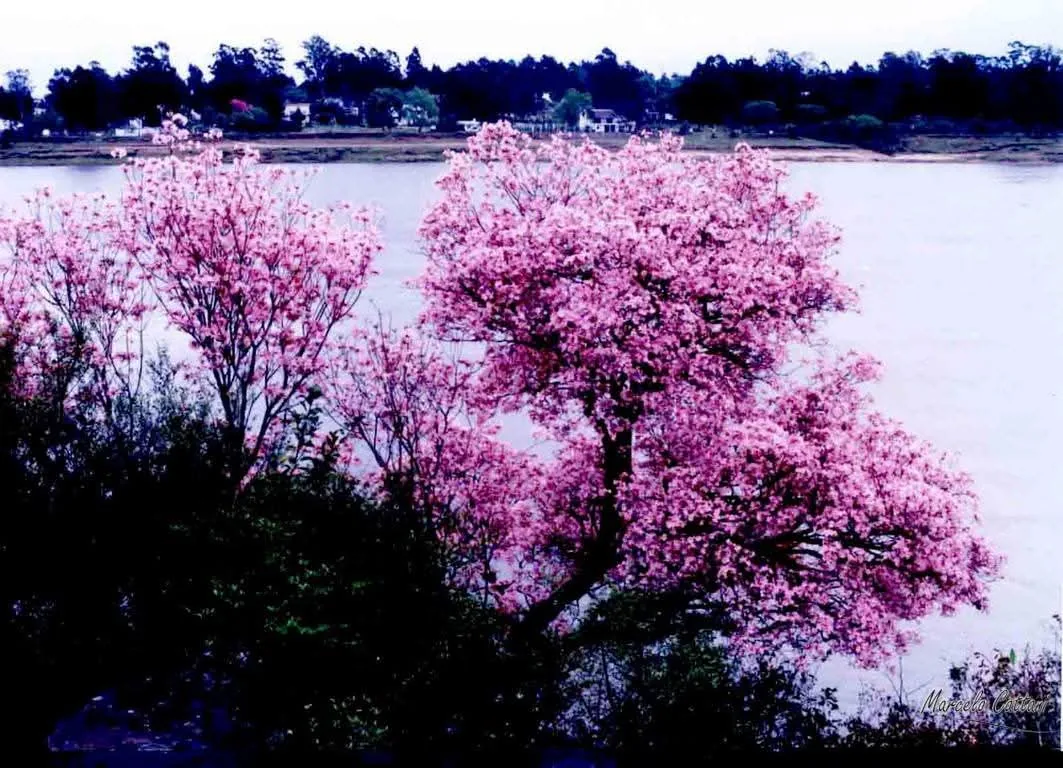
On the riverfront in town you get herons and cormorants without trying, the parakeets in the palms and the lapachos in bloom in August. The four areas are in the table on the Citrus Country page, the birdwatching note has the seasons, and a morning with a local guide is on the Birdwatching page.
Source: BirdLife International DataZone, San Antonio IBA (UY004), and the Ramsar Sites Information Service, site 1433, read in October 2026. The river at Salto appears in neither list; San Antonio and Esteros de Farrapos do.
Plan It
Getting to the Water and Across It
The port is at the foot of the centre, a few blocks from Plaza Artigas. The Costanera Norte runs 3 km north from it to Salto Chico, flat all the way, and the Costanera Sur south. Nothing on the riverfront costs anything.
The passenger boat to Concordia leaves the port on Mondays, Wednesdays and Fridays, ten minutes across with your passport; the bridge over the dam is the road crossing. Both routes, and a day on the other side, are in the Concordia note.
After heavy rain in southern Brazil the river comes up fast, the low streets go under and the port closes at 10.55 m. The Journal note Salto When the River Rises explains what a rise means for a visit, and the level is live on saltouruguay.com.
On the river from this site: Dorado Fishing, the River Crossing by Boat, the Port and Shipyards walk and a morning of Birdwatching.